By Bryan Boggiano
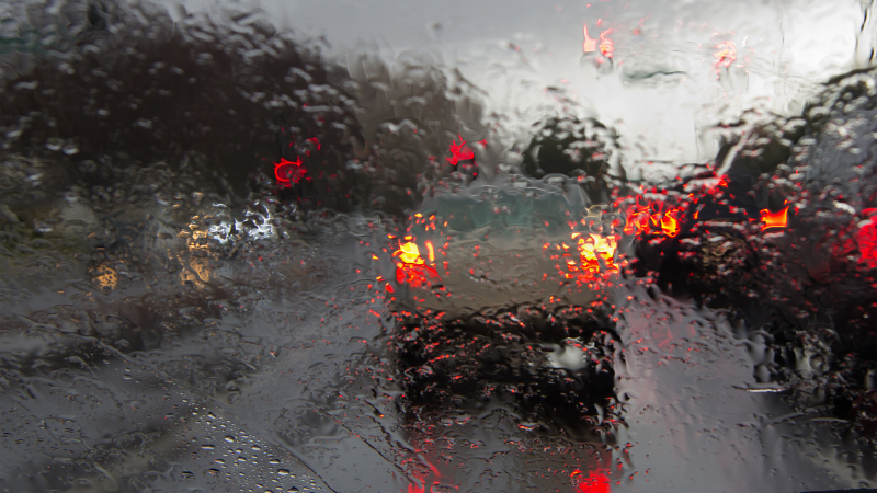
Wednesday’s storms brewed up a “rain-pocalypse,” complete with flood advisories, street flooding, and even two tornadoes.
Don’t get too cozy just yet – more rain is on the horizon for Thursday, though there’s a glimmer of hope with a brief break arriving this weekend.
It started when a weak cold front breezed through the area on Sunday, eventually stalling over the Straits of Florida and morphing into a stationary front. Meanwhile, strong high pressure built north of the region, with moisture hitching a ride along the front in a southeasterly stream following the high-pressure flow.
This soggy setup persisted through Tuesday, and on Wednesday, a developing non-Tropical area of low pressure loomed over the Gulf of Mexico. Extending from this system was the aforementioned stationary front, which decided to take up residence over southern South Florida for much of the day, according to the National Weather Service.
Broward County, situated north of the front, was soaked in heavy rain and buffeted by gusty winds as the atmosphere was ripe with moisture and a sufficient “lifting” mechanism that favored the formation of convection. Over the past 24 hours, about 2 to 4 inches of rain have drenched parts of northern Broward County, with totals since Sunday swelling to almost 6 inches in some areas, as reported by iWeatherNet.com.
Fort Lauderdale recorded 25.91 inches, the most in a 24-hour period in the city, leading to flash flooding, water rescues, and the temporary closure of Fort Lauderdale-Hollywood International Airport.
Two EF0 tornadoes touched down in Dania Beach, causing damage to mobile homes and trees.
Thursday morning promises a brief respite before the stationary front lifts to the north as a warm front, courtesy of low pressure over the Gulf inching closer to the northern Gulf coast. Scattered showers and storms are set to make a comeback, especially during the afternoon hours.
With the ground already saturated from relentless rainfall days, additional downpours could trigger street and urban flooding. The National Weather Service issued a flood watch for metro Miami-Dade and Broward counties, effective through 8 p.m. Wednesday.
As we head into the weekend, rain chances will taper off through Saturday, providing a dry start. However, don’t put away those umbrellas just yet – by Sunday, the weak cold front will reappear, approaching the state and slowing down as it nears the area.
Send Your News to Coral Springs #1 Award-Winning News Site Here. Don’t miss reading Parkland Talk, Tamarac Talk, Coconut Creek Talk, and Margate Talk.
Author Profile

Related
 NewsJanuary 1, 2024BEST OF 2023: Inspiring Fitness Journey Earns Resident National Recognition
 NewsNovember 20, 2023Charter School Alum Works Toward Equity For Black Veterans
 NewsNovember 16, 2023Coral Springs Joins Regional Climate Effort, Commits to Bold Action Plan for Environmental Resilience
 NewsNovember 8, 2023Meet Dr. Juliana Forero: Leading Coral Springs Museum to New Heights with Inclusivity


